top of page


SPSeg
Spatial Intelligence. SPSeg understands space. Turn address and location data into spatial patterns, profiles and map-based insights without coding.
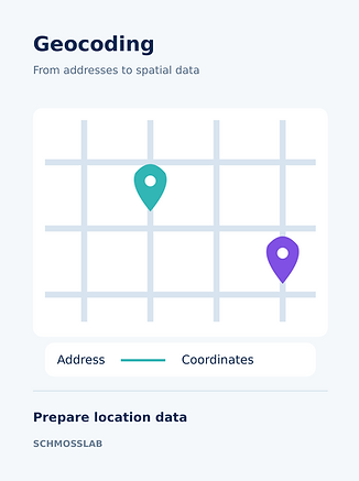
Geocoding
Convert addresses into coordinates. Validate data quality and build a catalog to prepare location data for spatial analysis.

Reports
Generate statistics and analysis reports from learning results. Support decisions on transport, public safety, tourism and facility use.
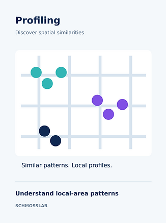
Profiling
Discover similar spatial patterns with unsupervised learning. Combine multiple labels into local-area profiles and explore results on a map.
bottom of page